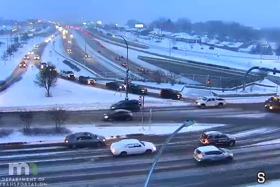
Updated Forecast Calls for More Snow, Poor Travel Conditions in Southeast Minnesota Tuesday
Update: Southeast Minnesota Winter Storm Update: Snowfall and Crash Totals are In
Rochester, MN (KROC-AM News)- The National Weather Service (NWS) Tuesday morning released a forecast that lays out the remaining timeline for the first snowstorm of the season.

A Winter Weather Advisory remains in effect for the Rochester area until 6 a.m. Wednesday.
The Winter Storm Warning issued for Fillmore and Houston Counties along with communities in northeast Iowa and southwest Wisconsin is also scheduled to expire at 6 a.m. Wednesday.
NWS forecasters say Rochester could see an of additional snowfall Tuesday morning. 1-2 inches of additional snow are predicted for Winona and Preston could pick up an additional two inches of snow.
The predicted additional snowfall totals climb further southeast of Minnesota into southwestern and central Wisconsin. Forecasters say the snowfall in most of southeast Minnesota is predicted to end between noon and 6 p.m.
The ending of the snow is predicted to be followed by 30-40 mph wind gusts capable of producing blowing and drifting snow that could reduce visibility and cause deteriorating travel conditions Tuesday afternoon into the evening.
The winds are predicted to die down over night. Significant travel impacts are expected to persist in the region until 9 p.m. Tuesday, the NWS says. Preliminary snowfall totals are not yet available.
The snow has caused many school districts to close or delay the start of classes Tuesday. You can get the full list of weather-related announcements by clicking here.
Real-time road conditions are also available in the KROC News App.
8:20 a.m.: Story updated to include updated snow forecast from the National Weather Service
More Minnesota News:
- Semi Tips Over on Southern Minnesota Ramp, Driver Hospitalized
- Cloquet Police Update After Active Shooter Incident Leaves 3 Dead
- Kasson Man Sentenced for 2022 Murder of Rochester Area Man
Snowiest Cities & Towns In Minnesota
Gallery Credit: Nick Cooper

