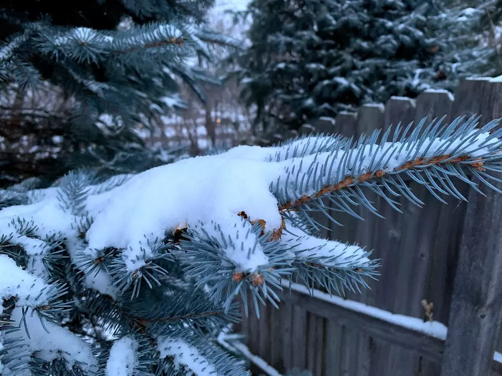
Rochester’s First Flakes of the Season Are Nearly a Week Late This Year

The first snowfall of the season in southeast Minnesota is in the forecast for Thursday night and Friday, and though it might seem early, it's actually the opposite.
That's right, we're nearly a week late when it comes to the date Rochester usually sees its first snow. According to former ABC-6 morning meteorologist Cindy Morgan, the earliest date there was measurable snow at Rochester International Airport was... September 26th! Now, that's the earliest date-- not the average. Thankfully that wasn't the case this year.
Meanwhile, Cindy says the latest date in the season RST has seen our first measurable snow was... December 19th. Which, on the other hand, seems a little late, doesn't it? I mean, on December 19th, it's under a week until Christmas at that point-- and hopes of a white Christmas were probably getting pretty grim.
So while those are the extremes, when is the average date we see some measurable snow here in Rah-Rah-Rochester? Well, Cindy reports that would be... November 5th, which, puts us about 6 days behind the average date this year.
And KTTC's Weather Authority Facebook page says our average snowfall is actually a day earlier, happening November 4th. So, either way, we're still late this year. Which, I'm going to guess, most of us aren't complaining about.
Now while it looks like we won't get too much snow this time, colder temperatures ARE on the way, with highs expected to be in the mid '30s. That's about 10 degrees below normal, so you'll definitely want those winter coats. And if you need some new gear, keep scrolling to check out 10 of the best places to get ready for the cold-weather season here in southeast Minnesota!
Listen to Curt St. John in the Morning
weekdays from 6 to 10 a.m. on Quick Country 96.5


