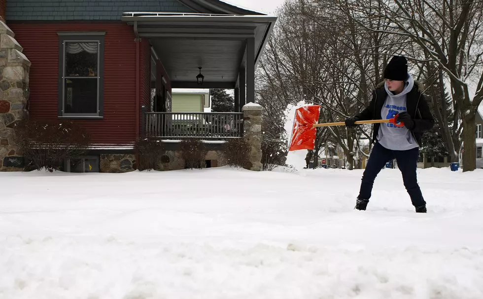
Winter Storm Watch: 6+ Inches of Snow and Ice Expected in Illinois and Wisconsin
Updated: 4 pm on Friday, March 13, 2026
The National Weather Service has issued a Winter Storm Watch from Sunday evening through Monday evening.
Blizzard conditions will be possible with 2 to 7 inches of snow, and wind gusts up to 55 mph.
Visibilities may drop below 1/4 mile due to falling and blowing snow. Whiteout conditions are possible and may make travel treacherous and potentially life-threatening
After living in Montana for several years, I think I have figured out a regular weather pattern. While I have no scientific data to prove it, many times the major winter storms that would dump snow in the upper northwest would frequently make their way to northern Illinois and southern Wisconsin about 48 hours later.
READ MORE: Rockford Police Launches St. Patrick's Day DUI Crackdown
Well, as of Friday (3/13), there's an active Winter Storm Warning in effect for parts of Montana, where over 14 inches of snow could pile up by Sunday, and that weather system will arrive in the Midwest late this weekend.
High Wind Warning Friday Could Bring 60+ MPH Gusts Across Northern Illinois
A High Wind Warning will be in effect on Friday (3/13) through 4 pm (CDT), with damaging gusts over 60 mph possible, causing downed tree limbs and scattered power outages.
Travel along Interstate 90 and 39 could be hazardous, especially for high-profile vehicles.
Mid-March Winter Snow Storm Could Dump More Than 10 Inches
Current forecasts from the National Weather Service and The Weather Channel are showing a developing winter storm expected to arrive late Sunday night into Monday across northern Illinois and southeast Wisconsin.
5 to 8 inches of snow and ice are expected on Sunday night (3/15), according to the latest Weather Channel extended forecast, with an additional 1 to 3 inches accumulating on Monday morning (3/16).

This could mean school closings are coming, so make sure you stay close to your radio and station app to get the latest winter storm information for the Rockford region.
Blizzard Conditions Possible in Parts of Illinois and Wisconsin
Forecasts show colder air moving into the Midwest behind the high winds on Friday (3/13), and a potential for blizzard-like conditions in parts of the Midwest, including Illinois and Wisconsin.
After severe thunderstorms just a couple of days ago, there are currently active blizzard, and Winter Storm Warnings affecting northern Wisconsin on Friday, with most of the northern half of the U.S. experiencing a return of winter weather.
High temperatures will be in the mid-40s on Friday and Saturday, then briefly warm to near 60 on Sunday (3/15), then plummet to 3 degrees by Monday night (3/16).
Highs will only be in the lower 20s Monday and Tuesday before rebounding to the upper 50s by the first day of Spring on Friday, March 20, according to the Weather Channel.
LOOK: This is the best place to live in every state
Gallery Credit: Stacker