Wintry Weather Expected in Minnesota by Mid-Week

Rochester, MN (KROC-AM News) - What feels like an early spring is expected to be interrupted by a brief visit by old man winter during the middle of the week.
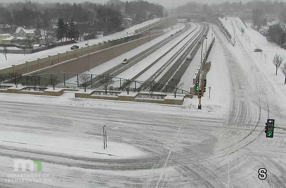
The National Weather Service is forecasting highs in the 60s on Monday, but a developing weather system is set to sweep across the upper Mississippi River Valley Tuesday night and an associated cold front is predicted to bring some precipitation to parts of Minnesota in the form of rain and snow. At this point, the heaviest snow is expected to fall in eastern Minnesota and western Wisconsin but forecasters say measurable snow is also likely in southeastern Minnesota.
The current forecast calls for falling temperatures on Tuesday with rain developing in the afternoon and changing over to snow Tuesday night. The National Weather Service is predicting less than an inch of accumulation in the Rochester area, but areas around and in the Twin Cities, and portions of western Wisconsin could see several inches of slushy snow from the storm system.
The cold front will make it feel like winter again on Wednesday. The National Weather Service is predicting high temperatures in the low to mid 20s accompanied by strong Northwest winds gusting to nearly 35 mph.
The wintry weather is expected to be short-lived. The forecast for Thursday calls for sunshine and a high near 45, high temperatures in the 50s on Friday, and the potential for an afternoon high in the low 60s next Saturday.
More Minnesota News:
- Discrimination Lawsuit Against Olmsted County Set For Trial
- Arrest Warrant Posted For Rochester Area 'Frequent Flyer'
- Minnesota Musher Disqualified as Assault Claims Roil Iditarod
Five Ghost Ships of the Great Lakes